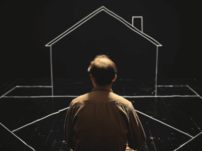
How can I correct the areas and boundaries of my property?
Freezing assets is the perfect tool to block any attempted disposal (such as sales or mortgages) of your property without your consent. This procedure guarantees legal security against registry fraud, preventing any unauthorized acts. If you will be away or simply want greater control over your property, this measure is ideal.
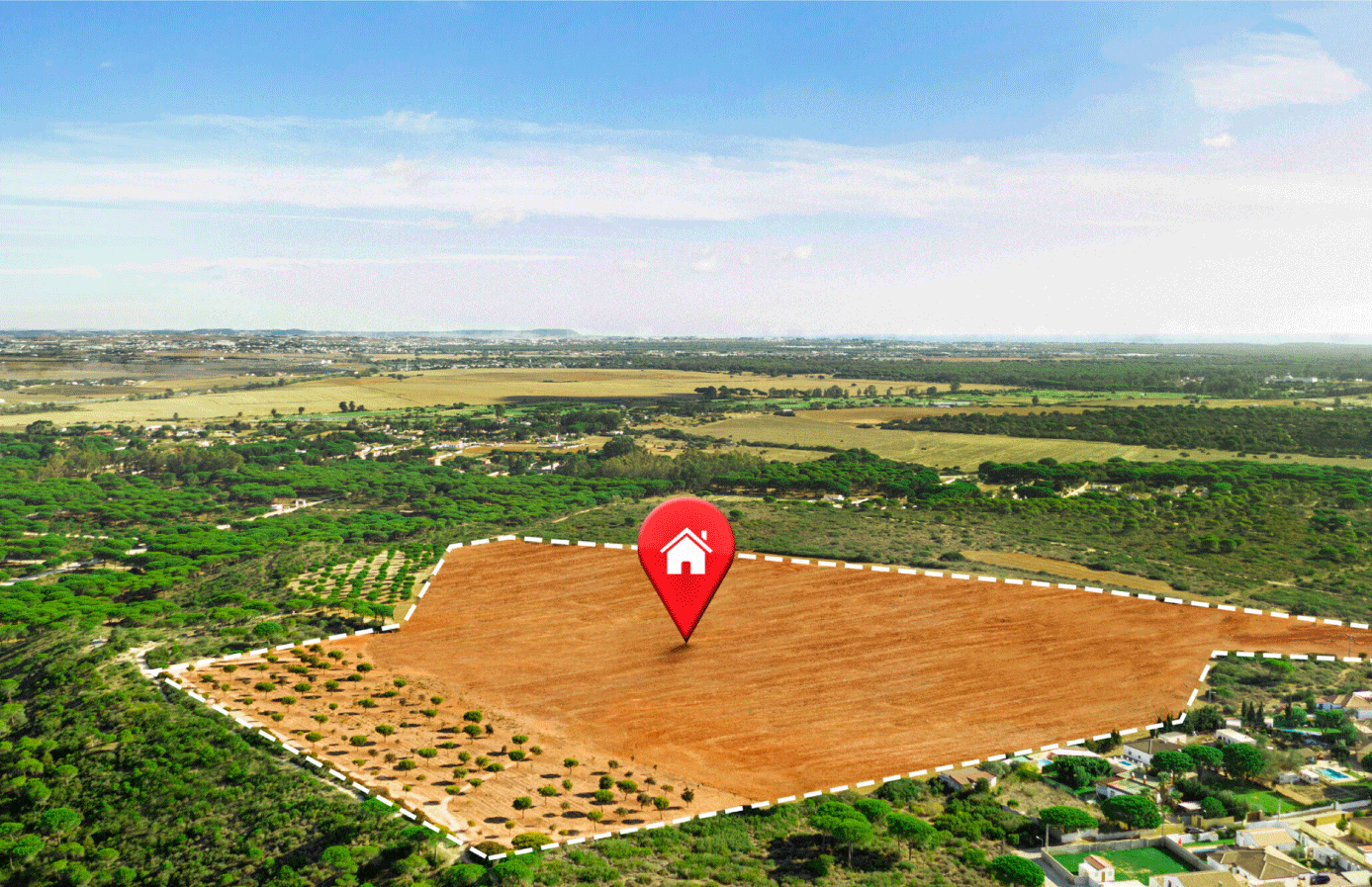
Correcting areas and boundaries ensures that public records accurately reflect the physical reality of a property. This procedure is vital when, over time, structural modifications or constructions are made that create discrepancies between what is recorded and what exists. It allows for the correction of technical and legal data about a property, such as:
- Total area: Differences between the registered and actual surface area.
- Boundaries and perimeter measurements: Adjustments to boundaries or dimensions.
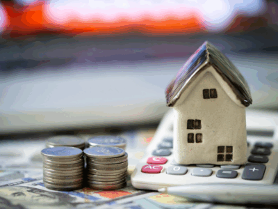
This procedure avoids conflicts, facilitates marketing, and ensures that the property is supported by an updated registry description.
How is it done?
- Notarial: Applies when there are no conflicts or overlaps with neighboring lands. It includes updated plans and the consent of neighboring landowners, in accordance with the Law on Non-Contentious Matters of Notarial Jurisdiction (Law No. 26662).
- Judicial: Requires judicial intervention in cases of disagreements or overlapping lands, regulated by Article 504 of the Civil Procedure Code (rectification or delimitation).
- Administrative: Applies to minor errors directly in the records, supported by Resolution No. 097-2013-SUNARP/SN, which regulates the registration procedure.
A practical case: industrial plant
An example of rectification is regarding the industrial plant of the company “ABC.” The last rectification of its area and boundaries was carried out more than a decade ago. However, during that time, the company made significant changes to its infrastructure, including new construction and internal modifications that altered the original measurements.
The area recorded in the public records no longer matches reality: discrepancies in dimensions and boundaries were detected, creating legal uncertainty. To resolve this, a detailed topographic survey was initiated, prepared by a registered professional, accompanied by a descriptive report detailing the changes made. In addition, the consent of the neighboring owners was requested to proceed through the notarial process. This will ensure that the new area and perimeter measurements are correctly registered, reflecting the current situation of the plant.
Why is it important?
Rectifying areas and boundaries not only corrects technical errors, but also:
- Guarantees legal security for the owner.
- Facilitates the marketing, mortgage, or financing of the property.
- Avoids conflicts with neighboring owners due to discrepancies in measurements.
- Ensures that structural modifications are supported by an updated registry description.
The real estate market demands accuracy and trust. Ensuring that public records reflect the reality of each property not only protects owners but also creates stability and security for future transactions. Rectification is not just a formality; it’s an investment in order and transparency. In the case presented, the industrial plant will be able to operate with greater legal certainty, consolidating its market value and projecting solid growth.
At Thorne, Echeandía y Lema Abogados, we are available to answer any service proposal requests, as well as for questions, extensions, or clarifications. Do not hesitate to contact us:
Segundo A. Campos Santillán